At a glance
1–2 days
Trailheads and lakeside stops are dispersed. Buses cover the main corridor; a car gives more flexibility, while hikers should plan one-way trail logistics.
Late spring through autumn for hiking; winter for snow activities with specialist equipment.
Core relationships are source-checked. Reconfirm transport and facility details before departure.
Why this town matters
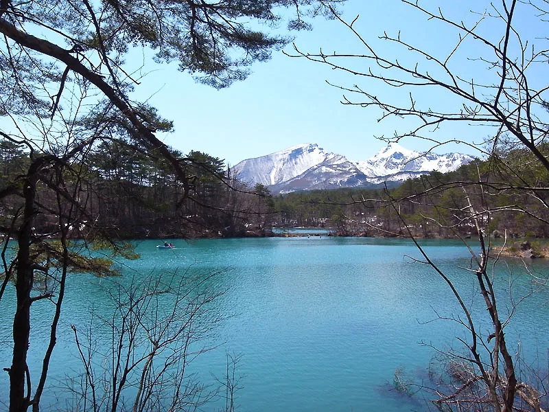
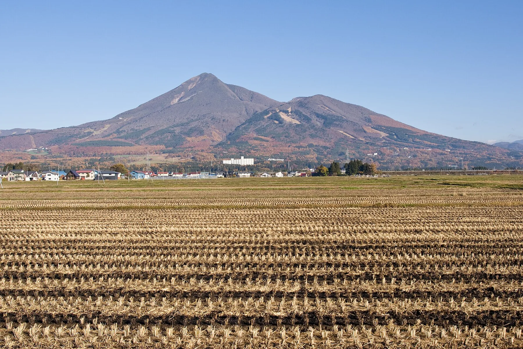
Kitashiobara makes the geography behind Fukushima’s inland landscapes visible. The 1888 eruption of Mt Bandai transformed valleys and waterways, creating the lakes and ponds that now define Urabandai.
Works, people, history and culture
- The volcanic landscape created by the 1888 Mt Bandai eruption
- Goshikinuma and its changing mineral colors
- Lake Hibara, wetlands and highland outdoor culture
What to see
- Goshikinuma Pond Trail
- Lake Hibara shoreline
- Morohashi Museum of Modern Art
- Nakase-numa viewpoint and seasonal trails
See it now · Live video
Check current conditions
The Goshikinuma entrance area and Lake Hibara in the highland landscape north of Mt Bandai.
Goshikinuma and Lake Hibara
Useful for checking highland weather, snow cover, foliage and visibility before an outdoor day.
- Camera operator
- Urabandai Tourism Association
- Checked
- 22 August 2026
This provider does not expose a verified stable direct stream, so its current-view page opens in a new tab. Availability, angle and update frequency can change. Use official weather, transport and emergency notices for decisions that affect safety.
Getting there
From Tokyo, major stations or airports
Use the Tohoku Shinkansen to Koriyama, continue toward Inawashiro, then take a bus to Urabandai. Bus frequency changes by season.
Getting around locally
Trailheads and lakeside stops are dispersed. Buses cover the main corridor; a car gives more flexibility, while hikers should plan one-way trail logistics.
1–2 days
Late spring through autumn for hiking; winter for snow activities with specialist equipment.
Food, onsen and local culture
Highland lodges, pond-smelt fishing and mountain food shape the village experience. Conditions matter more than a fixed checklist.
Connect neighboring towns
Combine with Inawashiro, Kitakata or Aizu-Wakamatsu. Keep one weather-flexible day if hiking is central to the trip.

Lake Inawashiro and Urabandai in one day
Read Mt Bandai from both sides by pairing the lakeshore with one Urabandai trail, only when the seasonal bus links support the plan.
Inawashiro · KitashiobaraOpen route →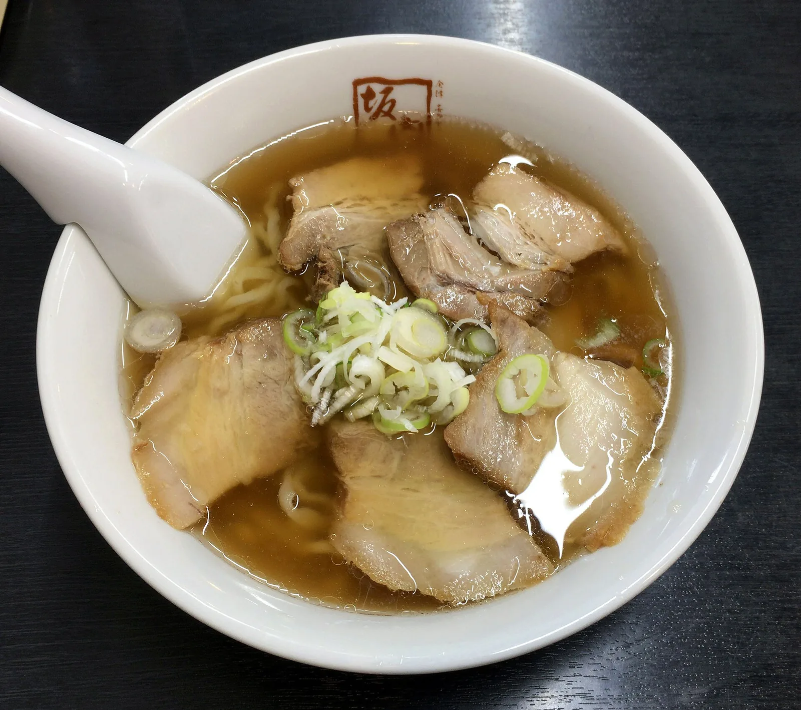

Aizu lakes, post towns and food culture
Build a realistic circuit from the castle city to ramen streets, a mountain post town and the Bandai lake district.
Aizu-Wakamatsu · Kitakata · Shimogo · Inawashiro · KitashiobaraOpen route →Etiquette and safety
Check live transport and weather notices before departure. Historic sites, shrines, temples and residential streets are shared community spaces: keep voices low, do not enter private property, and follow photography rules. Check closures, bear information and trail conditions; the colored ponds are protected natural features, not swimming areas.
Questions before you choose Kitashiobara
How much time should I allow?
1–2 days. This is the practical minimum for seeing the town without turning transport into the main activity.
Can I visit without a car?
Trailheads and lakeside stops are dispersed. Buses cover the main corridor; a car gives more flexibility, while hikers should plan one-way trail logistics.
When is the best time to go?
Late spring through autumn for hiking; winter for snow activities with specialist equipment.
Information checked: 22 August 2026
Source register
Sources used for this page
Reconfirm changing information with the responsible organization before travel.
- Urabandai Travel GuideUrabandai Tourism Association · Official tourism organization · checked 22 August 2026
- Urabandai trekking coursesUrabandai Tourism Association · Official tourism organization · checked 22 August 2026
- Fukushima TravelFukushima Prefecture Tourism and Local Products Association · Prefectural tourism organization · checked 22 August 2026